How do you start off right?
Understand, measure and respond to risks
Automate
Every borehole produces raw data; we link it directly to our digital models so you can see live what is happening below ground level. That really saves time.
Integrate
Historical archives, NEN standards and real-time sensors flow into a single dashboard with us, because scattered bits of information get you nowhere.
Innovate
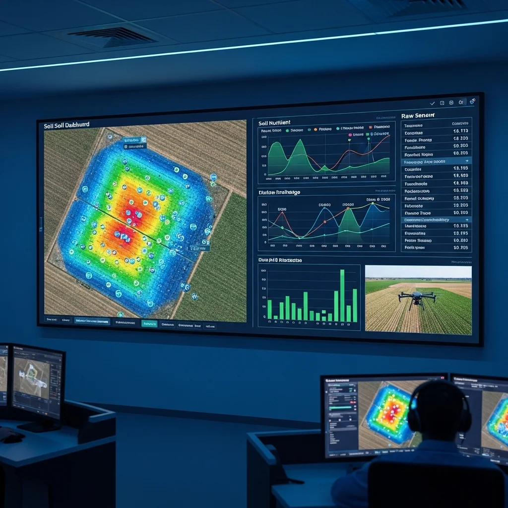
Scanning soil life with DNA analysis sounds futuristic, right? We are already doing it, allowing farmers to know exactly how their soil breathes.
Advise
The work does not stop after drilling; we translate measurements into concrete actions: re-use soil, remediate or simply leave it undisturbed.
Reading the soil sometimes feels like a detective novel.
The essence
The essence
Skipping soil investigation is a gamble with money and reputation. An unexpected contamination can halt construction projects and make financiers nervous.
What we notice
In practice we often see clients underestimate the historical phase. In fact, 30 % of remediations could have been avoided by a thorough archive study beforehand.
Key insights
Environmental investigation determines whether a location is "clean enough" for residential or workplace use.
Geotechnical investigation prevents pile rot and subsidence, issues most inner-city projects struggle with.
Biological soil scans are gaining ground; farmers can steer precisely for soil fertility.
NEN 5740 details how many boreholes to use in an exploratory investigation, yet a creative drilling plan can still reduce costs.
Step-by-step plan for soil investigation.
From historical detective work to post-delivery monitoring: this is how you tackle every risk.


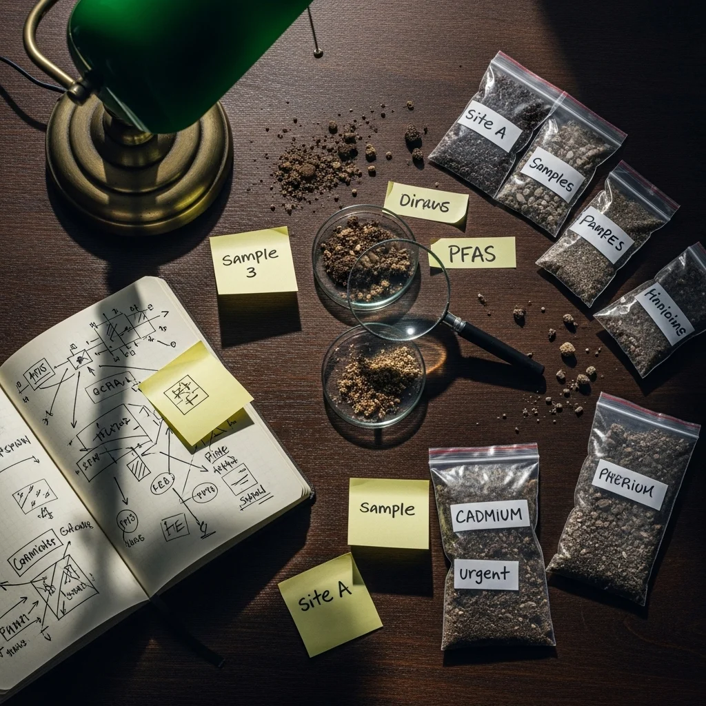
Step 1: Historical detective work.
Before the fieldwork starts, we comb through old cadastral maps, aerial photographs and municipal archives in line with NEN 5725. A former garage or old landfill sometimes only emerges now, and that is crucial information.
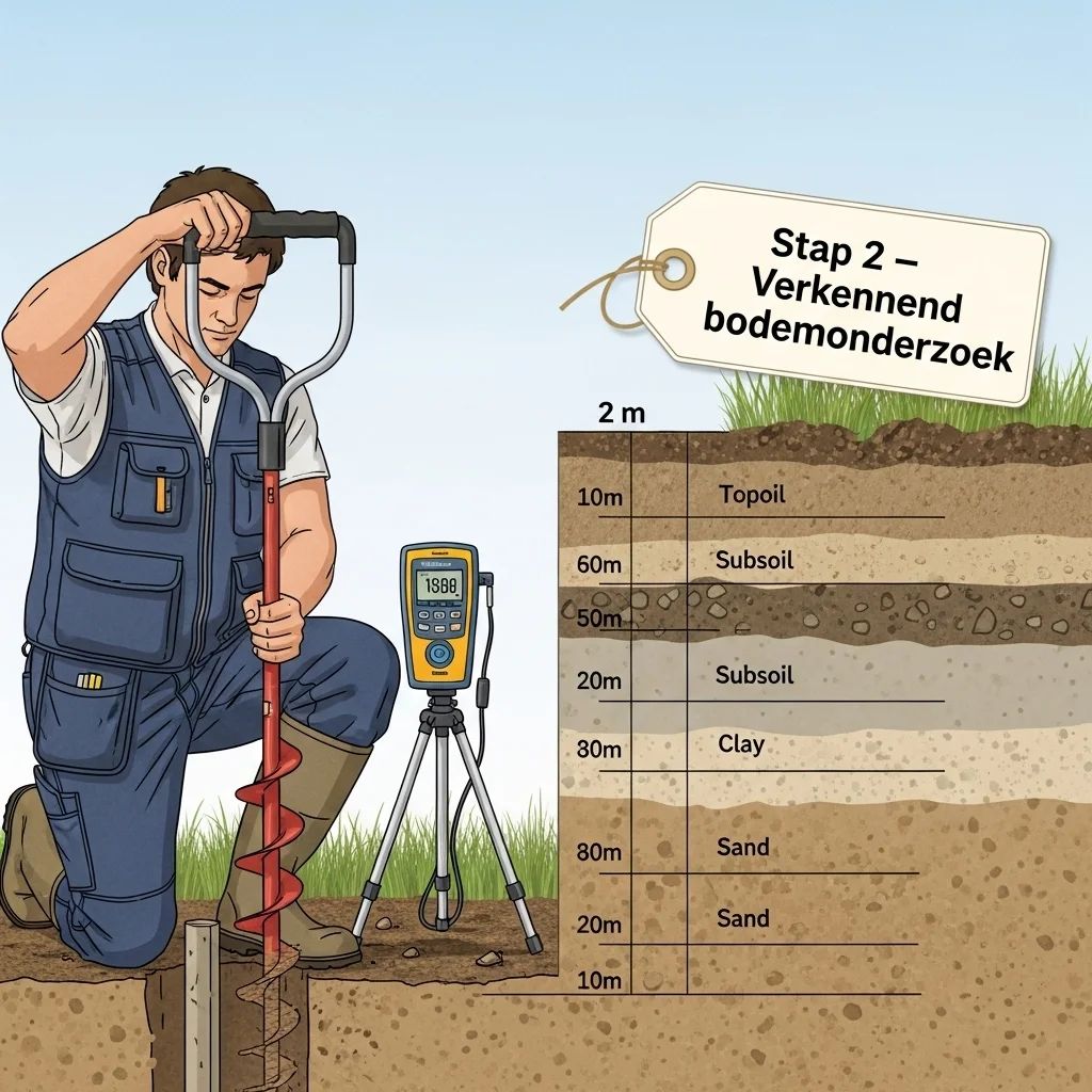

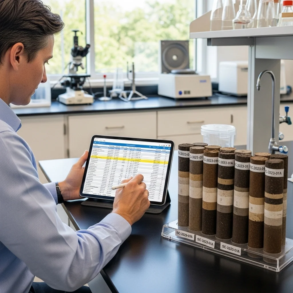
Step 2: Exploratory soil investigation.
Using bore tubes, monitoring wells and a dose of common sense, we examine the top two metres. Samples go to the lab, while in the field we already measure pH and conductivity.
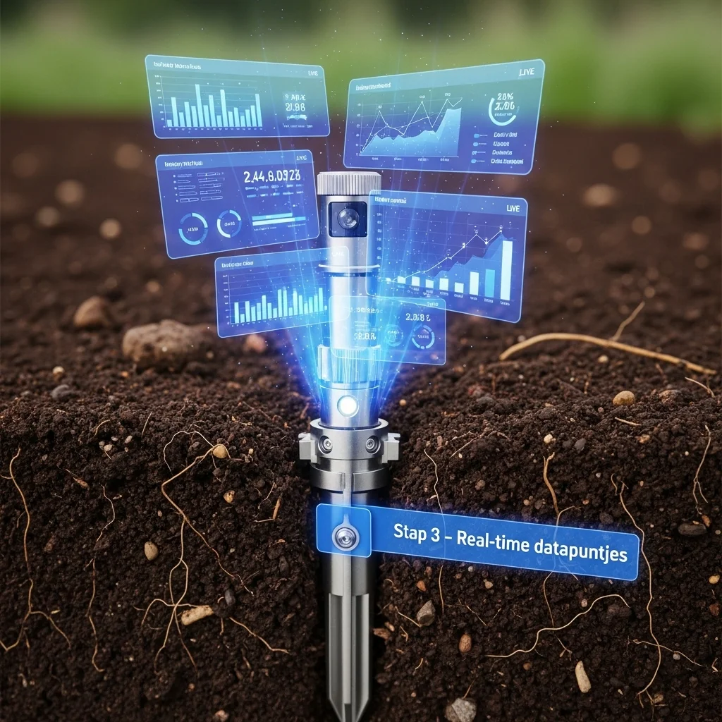

Step 3: Real-time data points.
New sensors provide an indication of heavy metals within ten minutes. This allows us to adjust the plan while drilling instead of regretting it afterwards.
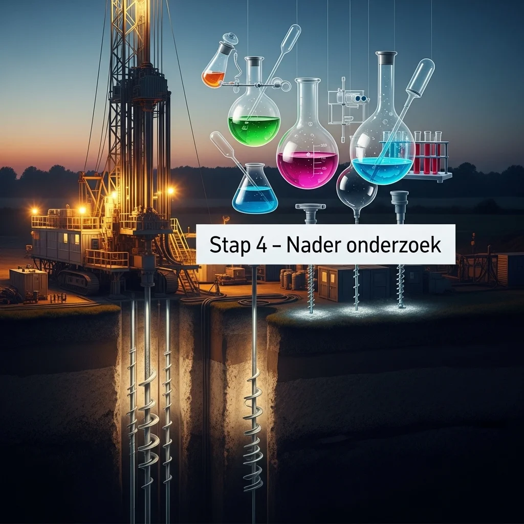

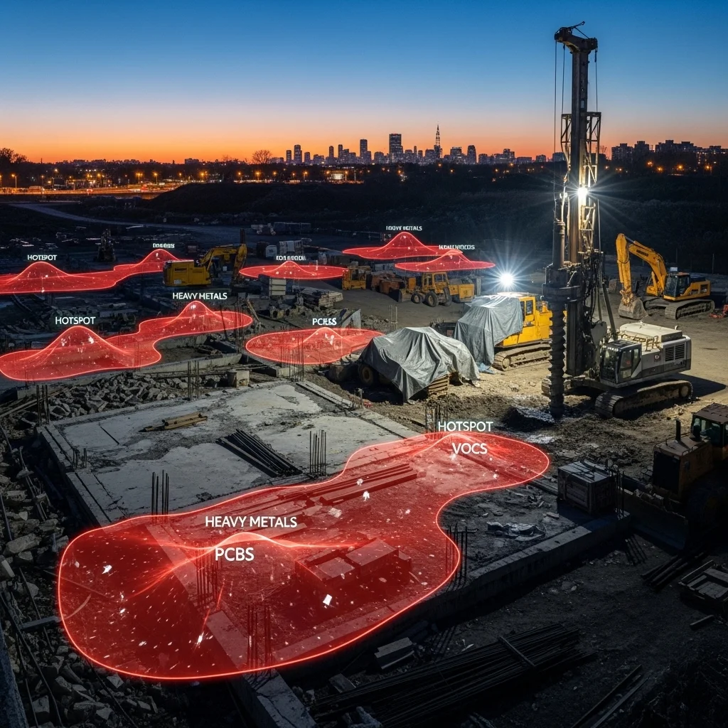
Step 4: Detailed investigation (if required).
If the first analyses show that lead or PAHs exceed the standard, we dive deeper. Extra boreholes, groundwater measurements and sometimes even geomechanical tests follow.
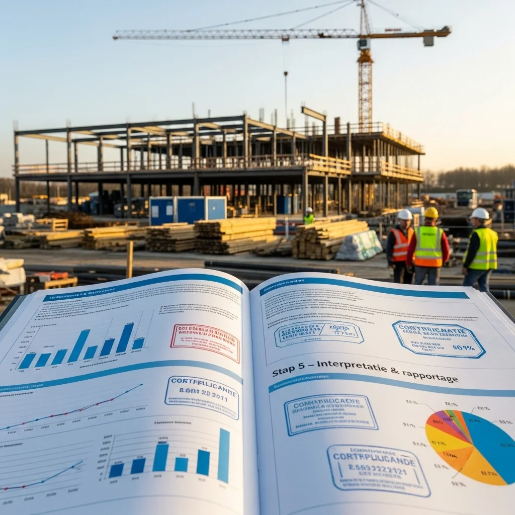

Step 5: Interpretation & reporting.
All those numbers are nice, but you want to know: may I build, sell, renovate? Our report links results to legislation and provides a practical roadmap for the next phase.
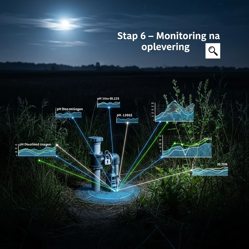

Step 6: Post-delivery monitoring.
People sometimes forget this: after remediation or construction we monitor groundwater levels and vegetation regrowth so that soil conditions remain stable, giving true peace of mind.


Ready to look beneath the surface?
We are happy to spar on your site free of obligation, whether it is a former factory plot or a meadow. A cup of coffee, a map of the parcel and we will show how smart soil investigation prevents expensive surprises.
Soil investigation as a strategic move
More than a tick-box for the permit
Soil investigation is often viewed as an awkward obligation. Yet those who look further suddenly see strategic advantages. Think of cleverly re-using lightly contaminated soil on site, eliminating costly disposal.
Environmental hygiene scan
This sub-investigation focuses on concentrations of substances such as zinc, nickel and PFAS. We link the readings to current background and intervention values. What immediately stands out: in urban zones copper levels are on average 1.7 times higher than in rural areas—something the municipality often overlooks in the permit requirement.
Geotechnical parameters
Bearing capacity, compressibility and shear strength determine whether you need piles, shallow foundations or a hybrid. By integrating CPT data already in the design phase, you can sometimes save up to ten piles. That may sound modest, but in practice every pile counts.
A critical look at the standards
When NEN 5740 is too tight
NEN 5740 sets minimum requirements, but what if a plot is historically suspect yet still "within the standard"? In such cases we advocate extra boreholes at hotspots. This prevents later excavation uncovering pollution that wrecks the construction budget.
Hotspot approach
We use a risk map on which old rail tracks, tank installations and chemical laundries are plotted. Those locations warrant a finer drilling grid.
Practical application
In Rotterdam we applied this approach at a redevelopment site. Extra boreholes revealed tar residues, allowing the contractor to phase remediation smartly with demolition planning. Time saved: six weeks, and a relieved client.
The future of soil data
From sampling to continuous measurement
Soil investigation is evolving. We once regarded instant measurements as nice to have; now they are becoming mainstream.
Sensor networks
Wireless probes track groundwater levels and chloride concentrations every minute. That produces a data stream we analyse with AI. The system predicts subsidence during drought, enabling the manager to intervene proactively.
Satellite validation
Remote sensing fills gaps in the drilling grid. Infra-red imagery shows variations in moisture and vegetation, useful for detecting old landfills that still emit heat signatures.

"A deal is a deal"
Yield.inc is a new asset manager in the Netherlands that focuses on excellent customer experience, sustainability and technology. When faced with the question of whether to develop our platform in-house or with a partner, we got in touch with Spartner. We are still 100% behind the choice for Spartner because we own the source code and with Spartner, a deal really is a deal, whether it concerns the delivery date or the agreed budget!
Hans Lugtenberg Partner at Yield Inc.

"A professional software partner since 2010"
Spartner is involved and contributes in our search for innovations and always delivers top-notch work. After the first Huurda.nl version got out-dated, we collaboratively launched a completely new version in 2020.
Custom-built search engine for rental propertiesNorbert Wegter Owner of 123wonen and Expat Homes Holland

"Pragmatic and flexible collaboration"
Spartner has created a customized portal for us for the accountability of large-scale collaborative projects. This enables us and our partners to execute and account for their plans in a shared environment that is secure, transparent, and manageable. The pragmatic and flexible collaboration with Spartner has ensured that we have quickly achieved a functional and user-friendly environment.
Jurjen Terpstra Managing Partner at Wecreate Consulting

"AI and machine learning as legal tools"
In 2020, we transferred the development of Lynn to Spartner. As a result of their fast development process, the Lynn platform achieves an increasingly central role in the legal world.
Lynn, the smart AI legal robotMarco Caspers Software Development Manager at Lynn Legal

"As a business you must dare to move forward"
Innovation and change are not always welcomed with equal enthusiasm by our employees, man is a creature of habit but as a company you have to dare to move forward and the need for a contemporary drawing program for the realization of various constructions with our Masterbloc bricks was high. For us but also for Spartner, this challenge was a bit of pioneering and together we had to overcome some hurdles to arrive at a beautiful and efficient business tool. A development and learning process for both parties, in which the feedback of questions and desired adjustments by our employees to Spartner was always in good consultation and we could count on quick feedback and targeted solutions. We continue to exchange experiences with Spartner and look back and forward to a successful collaboration.
Powerful 3D construction drawing softwareBjorn Gubbels Owner of Masterbloc

"Spartner extends our capabilities and development capacity"
With weekly calls, using our Azure DevOps sprint system, Spartner actively works together with our innovation, communication and software development departments.
Multi-website CMS with Statamic 3Marco Leenders Head of Automation

"Flexible collaboration with yearly updates"
The projectteam of the city of Groningen is very enthusiastic about the "Roomfinder" platform.
Real estate management software for student roomsGemeente Groningen Projectteam

"Have been using Laravel Excel for years"
We requested custom help to a performance challenge we had in our implementation of Laravel Excel. I was amazed how quickly these Laravel artisans achieved significant performance gains, which saved us a lot of development time.
Open source package for LaravelJosh Mountain Co-Founder at IncentivePilot.com

"Higher occupancy rate thanks to our user-friendly platform"
Throughout the great years that we cooperate with Spartner (previously Maatwebsite, Ed.), our software has been developed continuously. Students and landlords actively work with features like allocation, payments, chat, contract generation and more.
Custom built ERP for all student residencesMaurice Evers Head of Student Housing Department
"Innovating in the digital identification network of The Netherlands and Europe"
The pro-active approach of Spartner was crucial in understanding the complexity of the eHerkenning network.
Development of eHerkenning connection and servicesMaarten Bremer CTO / Founder Ensured
.webp)
"Innovation in legal technology"
As jurists with knowledge of IT, we highly value quality; within code, but also in process. The high work-level and trustworthiness of Spartner gives us the capacity to continuously create innovative features.
Legal tech platformNiels Winters Managing Director JuriBlox
What does soil investigation cost on average? 🙂
Costs vary greatly with plot size, risk profile and the number of analyses. A 100 m² garden requires fewer sampling points than a two-hectare industrial site. More importantly, a well-designed investigation saves money in later phases.
Is soil investigation mandatory for every building permit? 🤔
Yes and no. Most local authorities require at least an exploratory investigation when you build, demolish or move soil. For minor refurbishments an exemption may apply, but this differs per municipality.
How long is an exploratory soil report valid? ⏳
In many regions a report up to five years old is accepted, provided the zoning and use have not changed. If something happens nearby, the regulator may demand an update.
Can I take samples myself? 🛠️
Technically you can, legally almost never. The law requires certified personnel and laboratories to perform sampling, otherwise the investigation loses its legal validity.
How deep do we have to drill? 🕳️
For most projects the focus is on the top two metres, because that is where most contamination and foundation risks occur. At hotspots or for groundwater issues we sometimes go to five or six metres.
What happens if contamination is found? 😬
A detailed investigation then follows to determine extent and risk. Depending on concentration and future land use, remediation may be required or monitoring may suffice.
Is a PFAS analysis always necessary? 🌱
Increasingly yes. PFAS is widespread near motorways, industry and even farmland. Many provinces enforce stricter PFAS thresholds than the national guideline, making a dedicated analysis wise.
How quickly will I receive the results? ⌛
For a standard exploratory investigation turnaround varies; lab analyses usually take one to two weeks. In urgent cases a limited package can be ready within three days, although that is less complete.
Does soil investigation help with re-using soil on site? 🌍
Absolutely. By knowing precisely which zones are lightly contaminated, clean or heavily contaminated, you can rearrange soil smartly. That saves transport kilometres and landfill costs.
Are biological aspects often skipped? 🐛
Still too often, unfortunately. Interest is growing rapidly though. A vital soil full of micro-life improves water infiltration and plant health—something urban planners increasingly value.